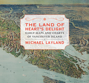
The Land of Heart’s Delight: Early Maps and Charts of Vancouver Island

Support Canada's History in other ways (more)
by Michael Layland
Victoria, B.C., 2013
240 pp., illus., $39.95 hardcover
In the Google Earth era, it’s easy to forget that for most of the human age the planet was largely an unknown and mysterious place. Think of that timeless mariners’ warning that, beyond the tattered map edges, “Here be dragons....’’
Over centuries of voyages and journeys of exploration, the understanding of our world’s geography grew. With The Land of Heart’s Delight: Early Maps and Charts of Vancouver Island, Michael Layland has created an attractive and absorbing book that focuses on a small corner of our country that was among the last regions to be explored by Europeans — the west coast of British Columbia.
Filled with beautifully detailed colour and black-and-white map reproductions, this coffee-table book is a must for fans of cartography and history.
— Mark Collin Reid (Read bio)
Mark Collin Reid is the Editor-in-Chief of Canada's History.